
Latest Version
Version
2.0
2.0
Update
September 09, 2025
September 09, 2025
Developer
XDivide Geospatial
XDivide Geospatial
Categories
Travel & Local
Travel & Local
Platforms
Android
Android
Downloads
0
0
License
Free
Free
Package Name
com.xd_geospatial.joshuatree
com.xd_geospatial.joshuatree
Report
Report a Problem
Report a Problem
More About Joshua Tree Offline Topo Map
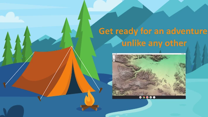
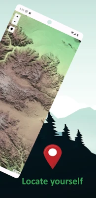
Designed with simplicity in mind, this app offers an intuitive user interface that enables you to quickly and easily find information about surroundings, without any prior technical knowledge or experience.
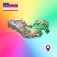
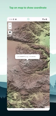
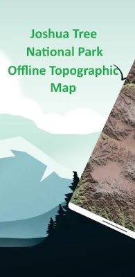
The app offers offline topographic map of Joshua Tree national park, data used in this app meticulously provided and maintained by 3D Elevation Program (3DEP) - consist of lidar point clouds and digital elevation models at various horizontal resolutions.
As a testament to our commitment to utilizing cutting-edge technology, we proudly leverage the Leaflet JavaScript library – a project born in Ukraine. It delivers a seamless user experience that empowers you to explore and discover the world with ease.
This app is the embodiment of our unwavering commitment to making the world a better place, and we are honored to provide a powerful platform that equips you with the tools and information needed to navigate and explore the surroundings with confidence and clarity.
Rate the App
Add Comment & Review
User Reviews
Based on 0 reviews
No reviews added yet.
Comments will not be approved to be posted if they are SPAM, abusive, off-topic, use profanity, contain a personal attack, or promote hate of any kind.


More »

Popular Apps

Fitzs Atlas of Coating DefectsMPI Group

Quran Stories 4 Kids~ Prophetshudapublishing ltd

Mindframe: The Secret DesignF.F.S. Video Games Limited

Tanghulu Master - Mukbang ASMRWhoyaho Corp.

Criminal Case: Travel in TimePretty Simple

VESC ToolBenjamin Vedder

Map My Walk: Walking TrackerMapMyFitness, Inc.

Amazon KindleAmazon Mobile LLC

eRegsBrandon Wiseman

Best Flash FileBest Technologies Ltd.
More »
Editor's Choice

Little Berry Forest 2 : StarsLittleBerryGames

Forest Island: Relaxing GameNanali Studios

Learn Forest Animals for KidsKokotots Inc

Forest KidsFood and Agriculture Organization of the UN

AR Drawing Anime: How to DrawAppincarnation

Sketch Box Pro (Easy Drawing)Colabox.NET

AR Drawing: Sketch & PaintAR Drawing

Shock Gun Prank SimulatorABI GLOBAL LTD.

Awlad - Learn arabicHoopow

Shiji ReviewProReviewPro